All About Accessibility: Getting Around with Navigation Technology
All About Accessibility: Getting Around with Navigation Technology
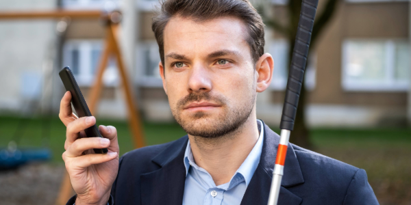
Thanks to modern technology, getting around in public places can be easier and more inclusive of individuals with disabilities. A variety of tools and apps help people with disabilities orient themselves, find accessible routes, and move confidently through both indoor and outdoor environments.
Here are some helpful options:
- Navigation apps like GoodMaps, RightHear, and Aira use GPS, Bluetooth beacons, and even laser scanning (LiDAR) to guide users with audio and visual directions.
- Smartphone apps like Be My Eyes and AccessNow connect users to volunteers or crowdsourced reviews to help identify accessible features in real time.
- Google Maps includes details like accessible entrances, parking, and restrooms.
These tools support many languages and are often free to use. Venues that set up these systems can make their spaces more welcoming for everyone—especially people who are blind, have low vision, or benefit from extra orientation support.
Our Accessible Ohio Navigation Technology resource offers more information about enhancing accessibility with technology and smart apps.
Explore our comprehensive library of Accessible Ohio resources to begin or enhance your accessibility journey.


Comments
Post a Comment